Nick Routley
billions of people around the world have a skewed perception of the true size of countries thanks to a cartographic technique called the Mercator…
There are 2 contents with this tag:
Nick Routley
billions of people around the world have a skewed perception of the true size of countries thanks to a cartographic technique called the Mercator…
The new globe projection in #Mapbox is awesome! 🤩
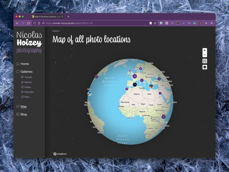
Check it on my photography website's map.
See all tags.